

Ottawa Trail Running: A First Gatineau Park Outing
Where should an Ottawa runner try a first natural-surface route? Gatineau Park is a popular option across the river in Québec, managed by the National Capital Commission. For a short introduction, use the Pioneers Trail from parking lot P3. The NCC lists it as an easy 1.3 km loop. It is a modest first test of footing and navigation, not a challenge to cover the park’s much larger trail network.
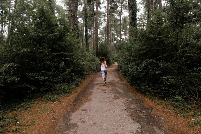
Choose the route before crossing the river
The Pioneers Trail page describes a hard-packed stone-dust path with some rise and fall. Its width and interpreted landscape make it easier to follow than an improvised chain of narrow trails. If you want a slightly different short outing, the NCC’s summer hiking guide lists Lac des Fées at 1.0 km, also easy. Use the current map to find the exact trailhead and do not combine the two without a deliberate travel plan.
Some Gatineau Park trailheads depend on parkway access, which follows a variable schedule. P3 is a straightforward anchor for Pioneers, but check access conditions before driving. The NCC map page has separate summer and winter maps. Save the appropriate one offline; do not use a summer line as a winter access promise. Use our route planning checklist to set a turn-around point and return time before leaving Ottawa.
Winter requires a different decision
The NCC lists Pioneers as a winter walking and hiking loop, but says walkers must stay off ski trails except at designated crossings. Snowshoe trails have their own rules, and some require a pass for walking when hard-packed. Read the winter guidance and current conditions before leaving. Choose traction and clothing for the actual surface, not the weather in central Ottawa. Our cold-weather layering guide can help with the clothing decision once you know the conditions.
First-visit checklist
- Confirm whether you are planning a summer or winter route.
- Check the parkway and trailhead access, current map and weather.
- Start at P3 for Pioneers and note your return point.
- Carry water, a layer and a charged phone; tell someone your return time.
- Stay on official trails and yield at crossings.
Starting short is an advantage here. Once you know the park’s seasonal trail system, you can choose a longer outing with much better judgment.
Image: Dwong33, CC0 1.0, via Wikimedia Commons.
